
Why Navigation Apps Are Very Useful
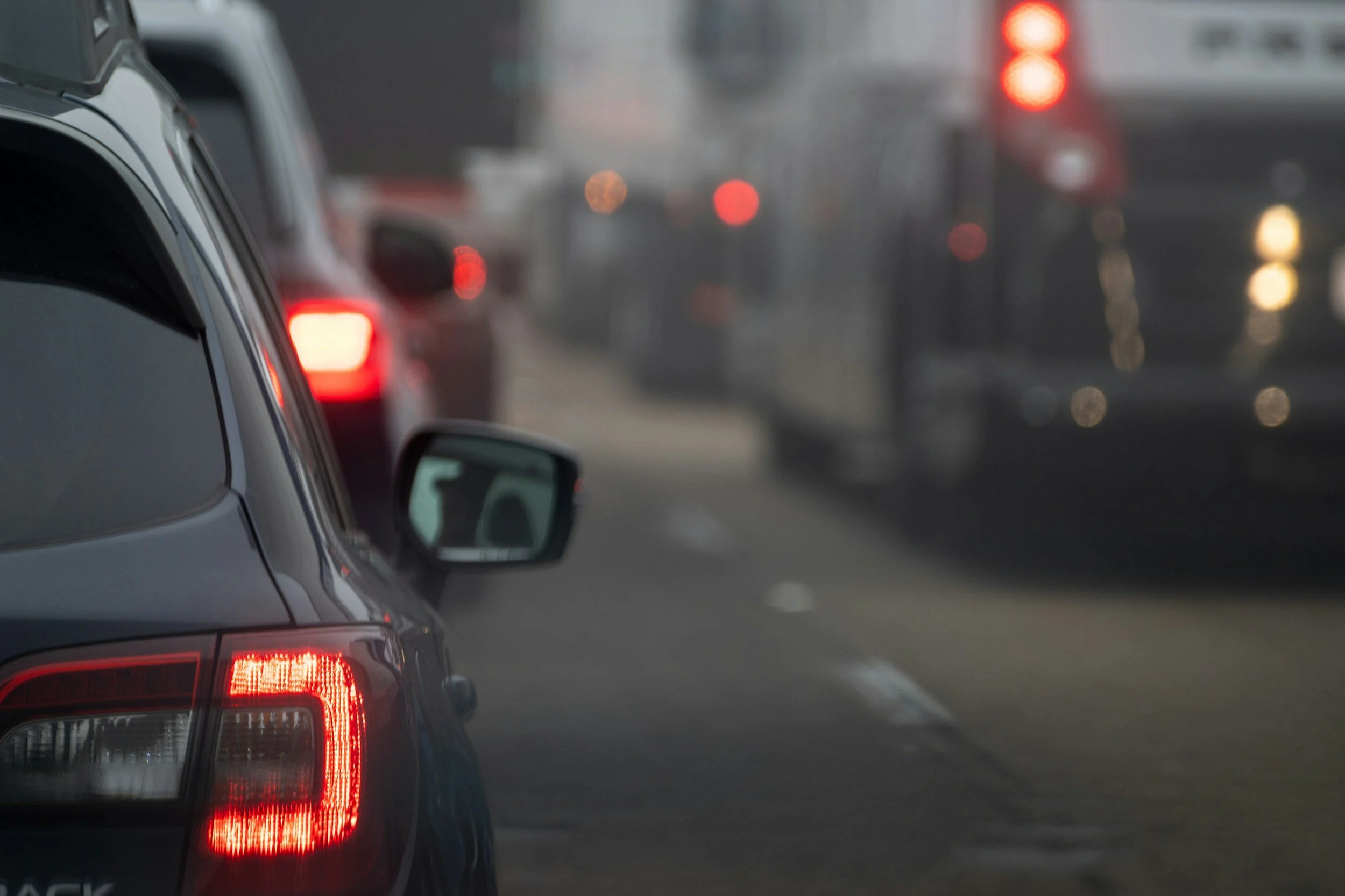
Is there any street in town that’s NOT under construction?
We’ve all heard the old joke: There are two seasons in Michigan—winter and construction. However, this summer seems to be worse than previous ones. Although I’ve lived in this town all my life, and I know how to get just about anywhere, I don’t know which streets or highways are temporarily under construction. If I rely on which route has traditionally been the way to go, I could very well find myself in a traffic jam. My usual 10-minute commute could turn into a 30-minute commute.
How to Avoid Unwanted Surprises
To cut down on traffic surprises, I frequently use my phone’s navigation app to tell me the best route to get to my destination. Not only does it give me options, showing the best way to go, but it also lets me know how long it’ll take. This is important to me, as I don’t want to be late to my talks or meetings with clients.
The three most common navigation apps are Google Maps, Waze, and Apple Maps. All of them do a good job getting drivers where they need to go.
In the screenshot below, I asked my navigation app to give me directions from Argus Farm Stop on Packard Rd to Grizzly Peak on Washington. It would seem that the most direct route would be to take Packard all the way to Main Street.
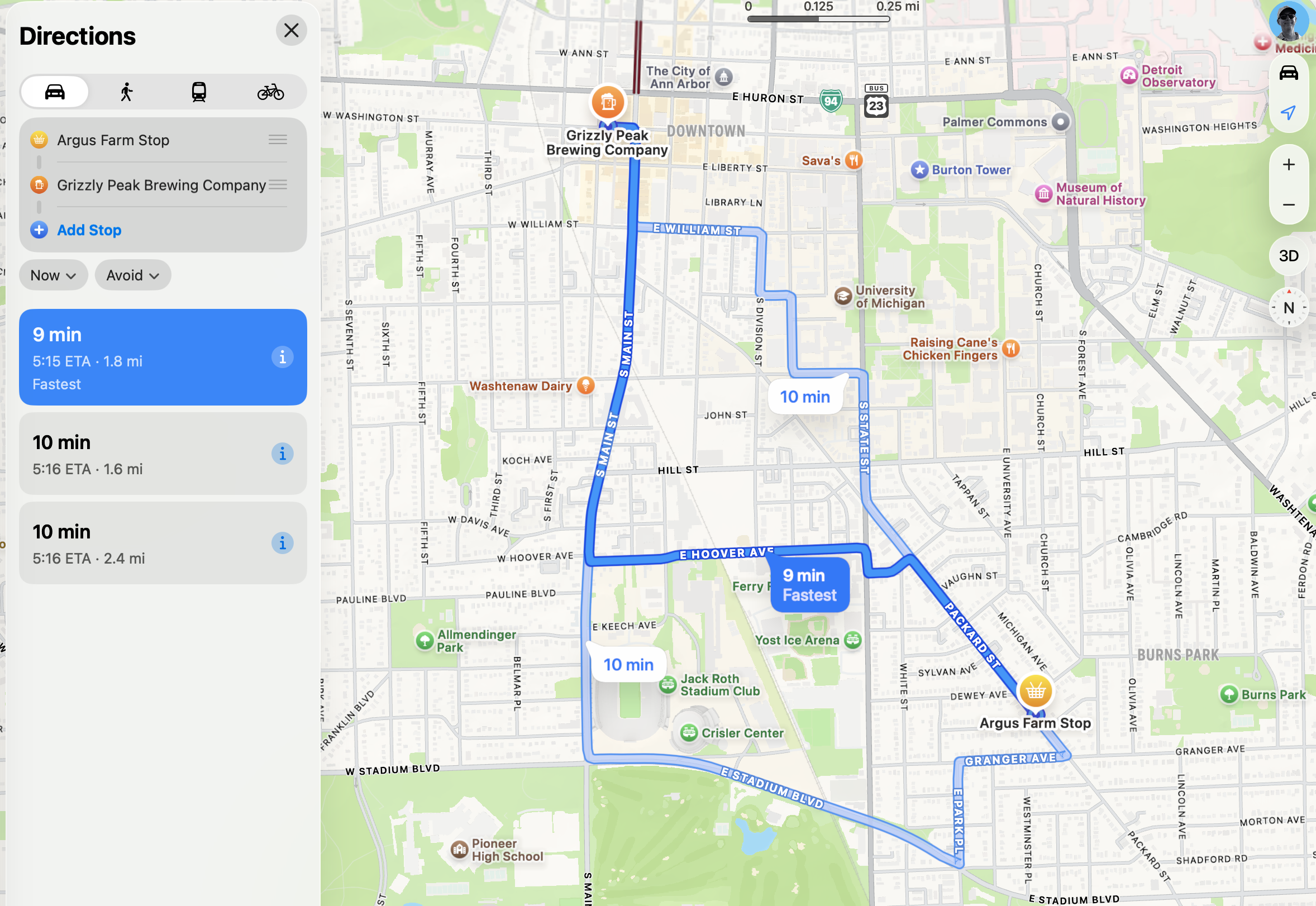
Apple Maps showing three possible routes to my destination
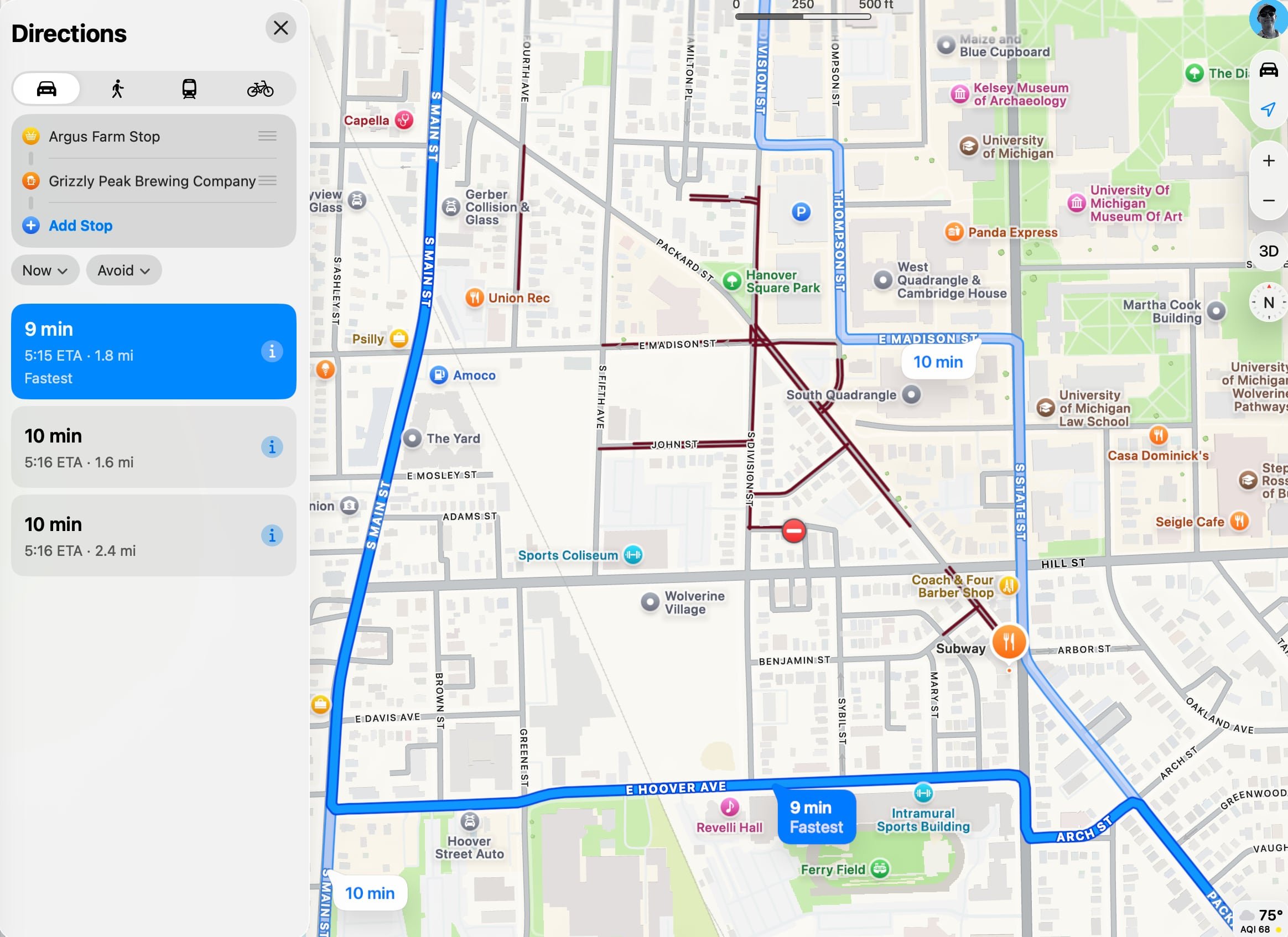
Zooming in on section of Route
In the screenshot above, a zoomed-in view of the map shows Packard under major construction (dark red lines). Therefore, the detour using Hoover to Main Street is the fastest route.
Construction isn’t the only reason, though, that I need to use my navigation. Here are some others:
Downtown Ann Arbor closing off avenues Thursday-Sunday for the Summer Streets events
Rush hour traffic. Some days are worse than others. Some streets are worse than others
Football game days. Always crazy
Warnings for objects in the road ahead
Warnings for crashes ahead
Warnings for police ahead (Of course, I don’t speed, but good to know anyway)
Warnings for weather issues
The Drawbacks
In the spirit of full disclosure, though, navigation apps aren’t perfect. For one, the best way to use them is by connecting your phone to your vehicle’s infotainment system, using Apple’s CarPlay if you have an iPhone, or Google’s Android Auto if you have an Android.
Most of the time, they connect just fine, but some times, for whatever reason, they don’t connect.
Once in a blue moon, they don’t know of a road closure or construction project that just started.
If you rely on them too much, you may find you’re not exercising your brain. An analogy is how we are all used to autodialing phone numbers that now we don’t know any by memory.
The Bottom Line
Even with the few drawbacks, using navigation apps can be very helpful when driving somewhere. If you’re worried about relying too much on them, you can always see where the traffic and construction are, then turn them off.
If you need help learning about these apps, or connecting them to your car, please reach out to me.